23 January 1838
The lake formed when a slope collapsed during the earthquake of 23 January 1838, at the foot of Hășmașul Mare.
46.7133° N, 25.8047° E
ScrollNational park in the central north-east of Romania, spanning Neamț and Harghita counties, with the reserves Bicaz Gorge, Red Lake, Șugăului Gorge, Licaș Sinkhole and Hășmașul Mare-Piatra Singuratică Massif; 18 hiking trails.
A national park in central northeastern Romania, in the counties of Neamț and Harghita, with the nature reserves Bicaz Gorge, Red Lake, Șugăului Gorge, Licaș Shaft Cave and the Hășmașul Mare-Piatra Singuratică Massif; 18 walking trails.
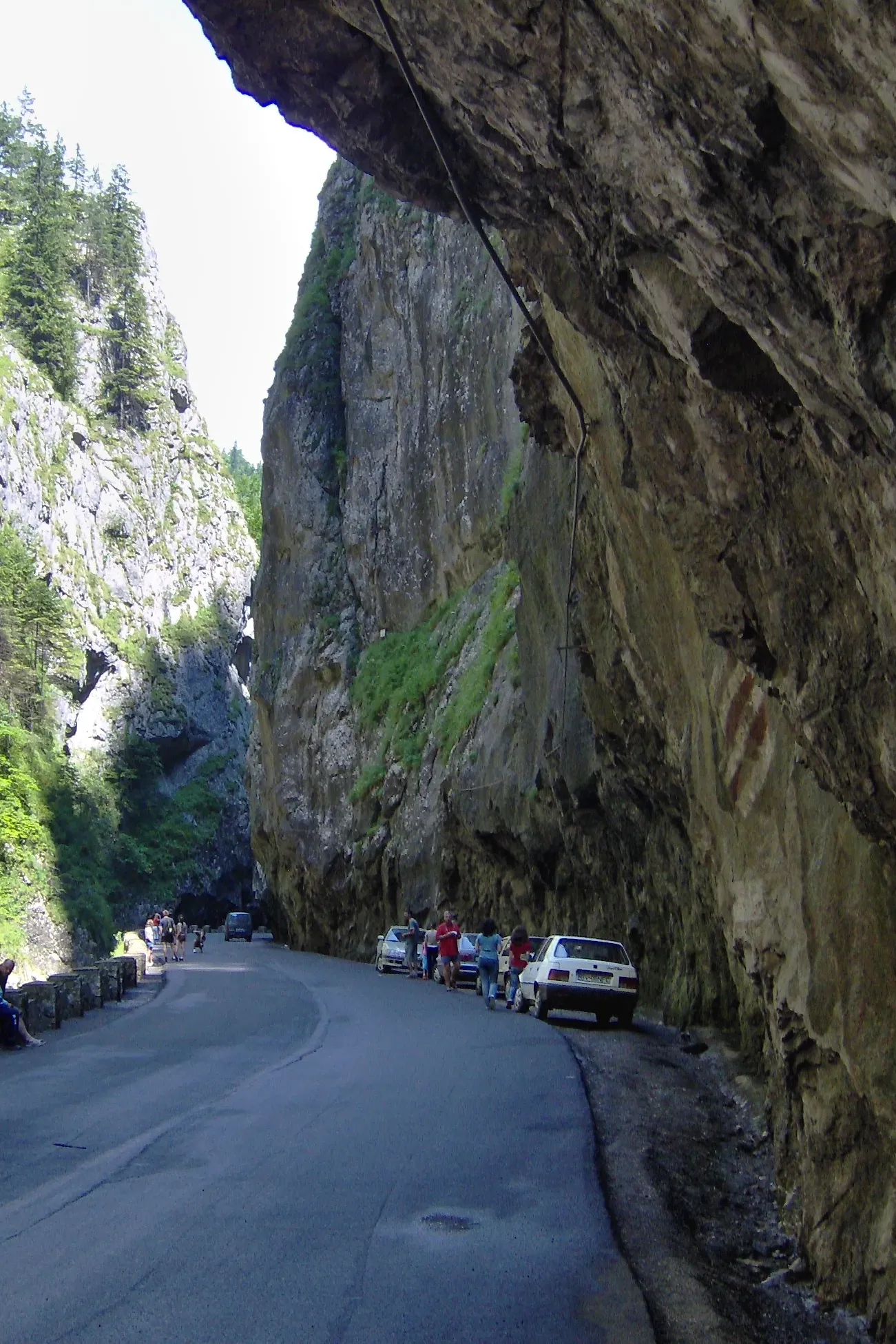
The spectacle of the stone landscape at Bicaz Gorge and Șugăului Gorge has made them among the most famous and imposing limestone gorges in Romania and Europe. Hikers can follow 18 mountain trails through the gorges and their distinctive scenery. Cheile Bicazului-Hășmaș National Park – Thanks to its impressive size, Bicaz Gorge is one of the country’s most attractive tourist areas.
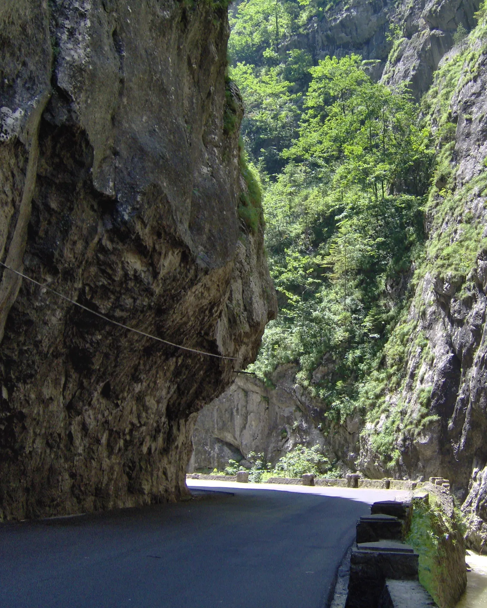
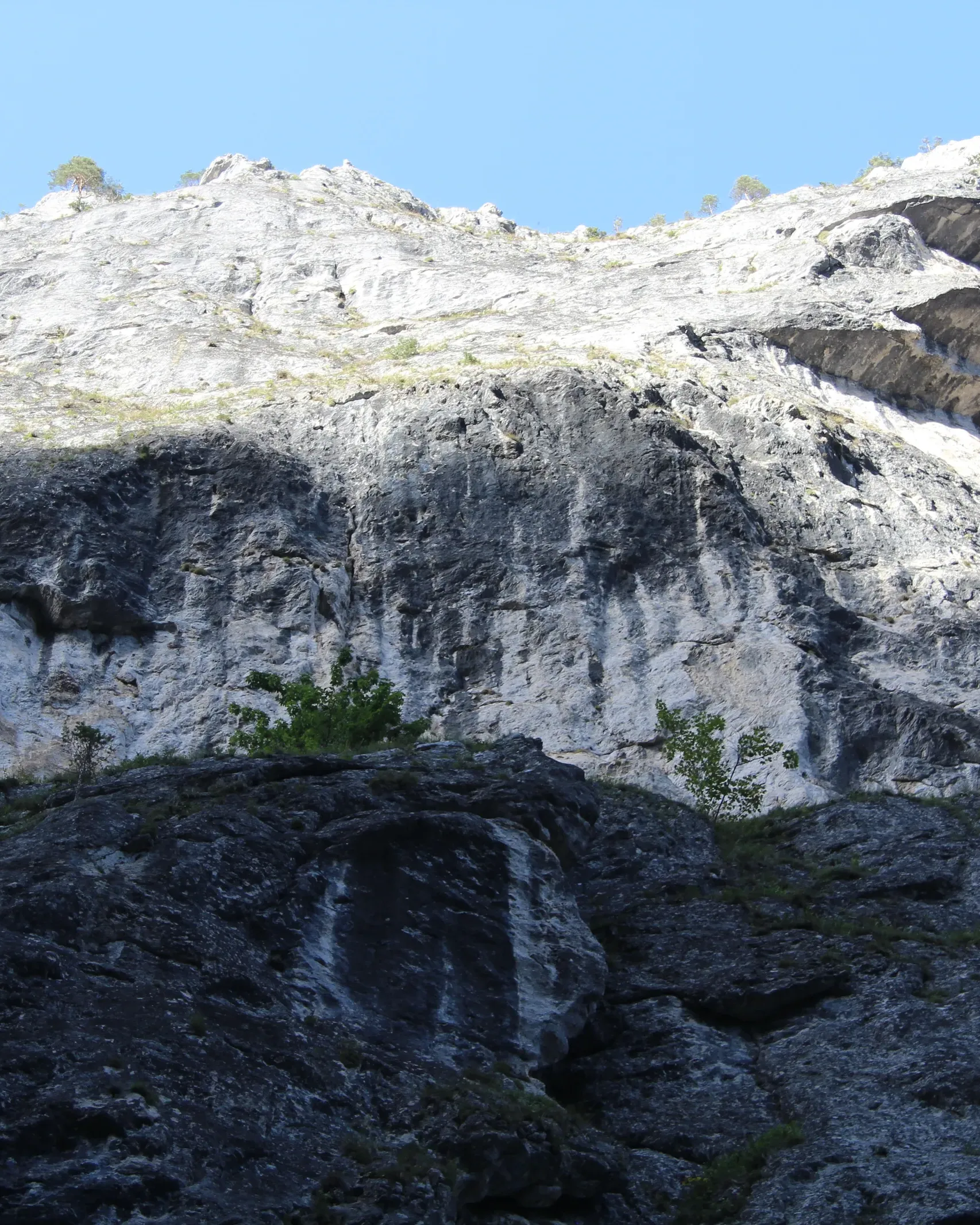
300 mHeight of the limestone walls of the Bicaz Gorge
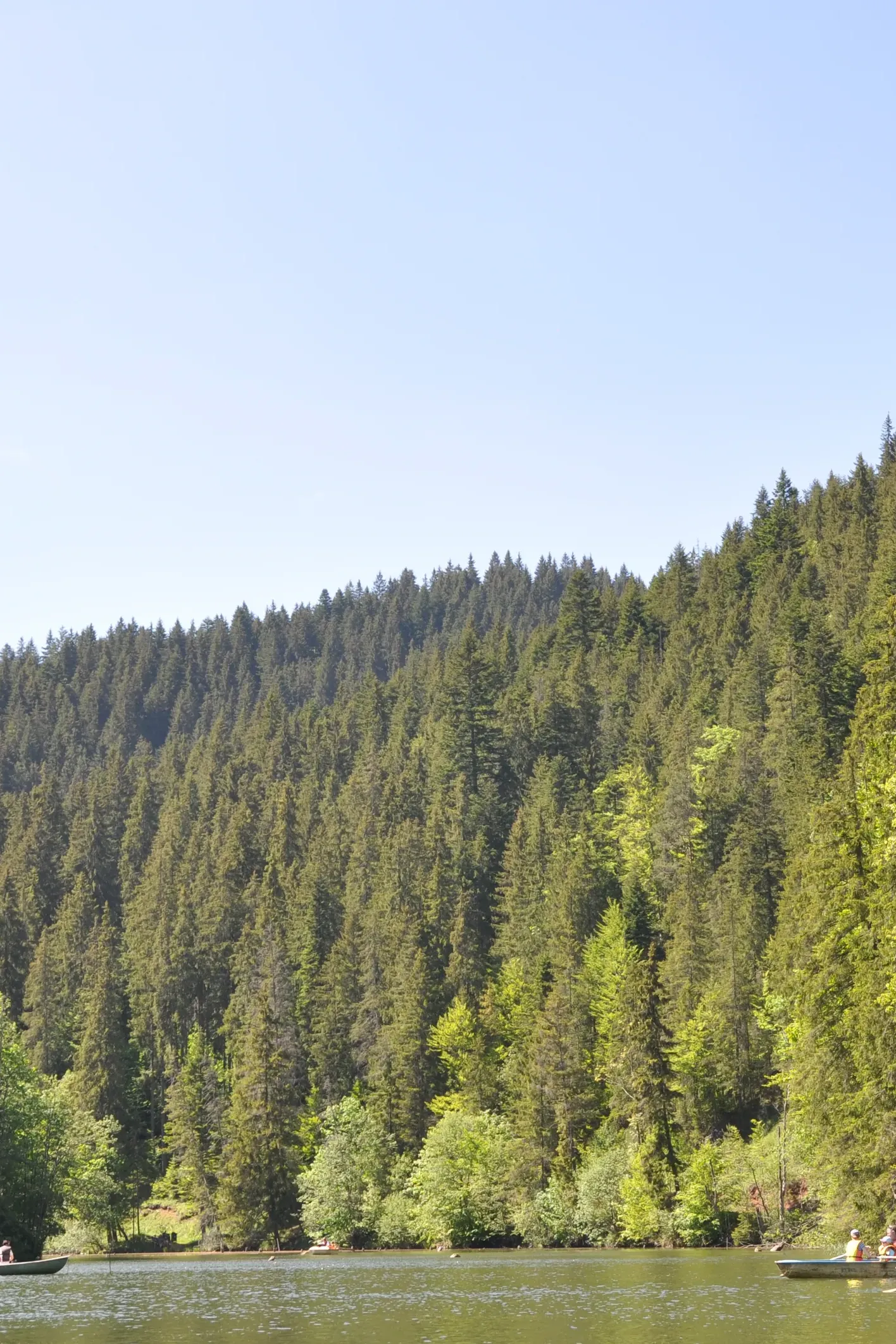
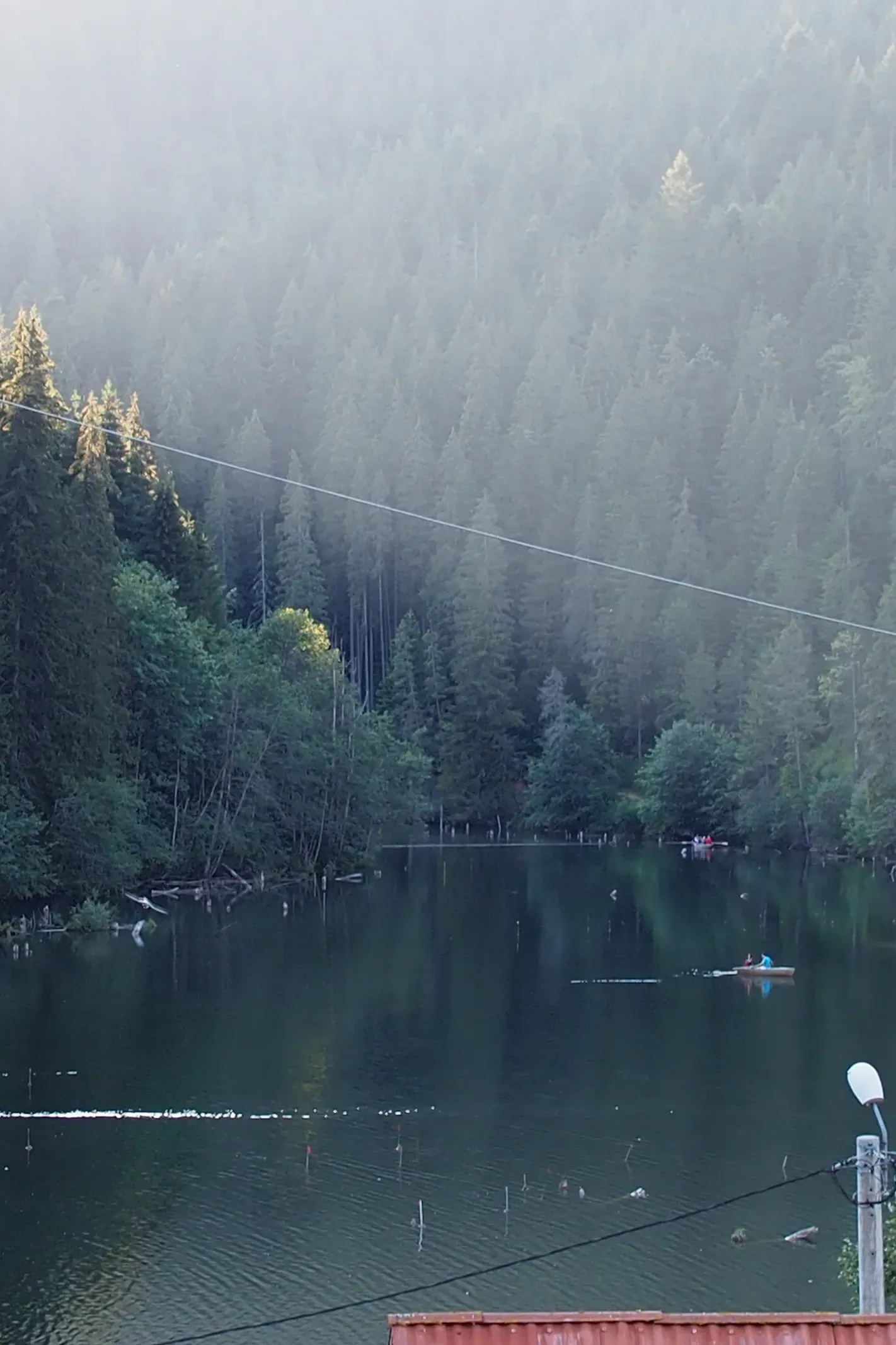
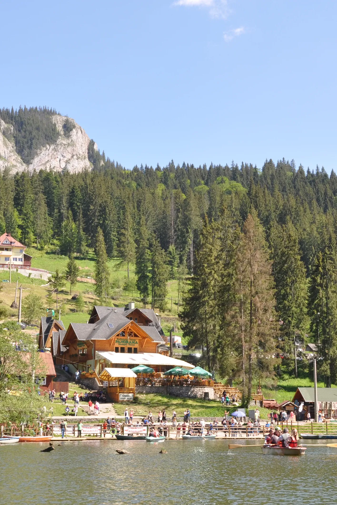
The lake formed when a slope collapsed during the earthquake of 23 January 1838, at the foot of Hășmașul Mare.
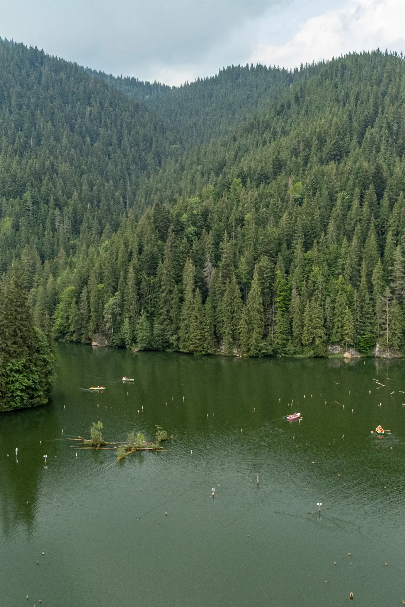
The fir trunks rising from the water are the lake's emblem.
The lake lies at 983 m, at the western end of the Bicaz Gorge; its surface measured in 1987 was about 11.5 ha.
The gorge was carved by the Bicaz river into Jurassic limestone, and road DN12C winds between the walls through spots such as “Hell’s Throat”.
24 trails
Centre of the Lacu Roșu resort
Route sheetCentre of the Lacu Roșu resort→Suhardul Mic peak
Route sheetCentre of the Lacu Roșu resort→Piatra Ghilcoș viewpoint
Route sheetCentre of the Lacu Roșu resort→Lacu Roșu
Route sheetPângărați Pass→Tarcău Saddle
Route sheetCentre of the Lacu Roșu resort→Bicaz Gorge
Route sheetLanding stage, Lacu Roșu→below Poiana Albă
Route sheetCentre of the Lacu Roșu resort→Poiana Albă
Route sheetCentre of the Lacu Roșu resort→Licaș Pothole
Route sheetValea Oii→Bicăjel hamlet
Route sheetLanding stage→Piatra Ghilcoș viewpoint
Route sheetBicaz Gorge→La Vincli meadow
Route sheetBicaz Gorge→Cupaș Saddle
Route sheetBălan→Piatra Singuratică hut
Route sheetLacu Roșu restaurant
Route sheetBicaz Chei→Șugău Gorge
Route sheetBicaz Chei
Route sheetCupaș stream mouth (944 m)→Lăpoș road (1,435 m)
Route sheetCupaș stream mouth (944 m)→Bicaz Gorge, km 29 (850 m)
Route sheetBicaz Gorge (850 m)→Piatra Maria (1,048 m)
Route sheetTarcău railway halt→Piatra Singuratică hut
Route sheetFirst dirt-road junction towards Dămuc→The same junction
Route sheetStone Gate→Bicaz Chei
Route sheetBicaz Gorge→Ruins of the Cnejilor Palace (Ceahlău)
Route sheet11
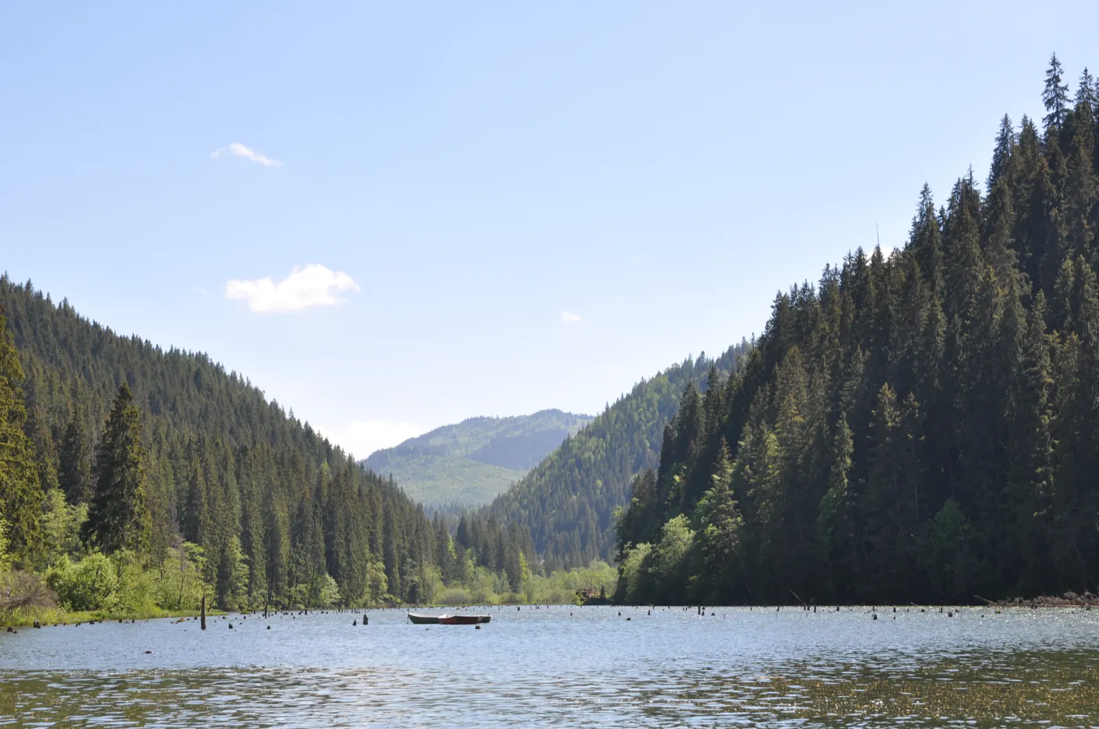
01Lacu Roșu, its slopes covered in spruce, a boat on the water
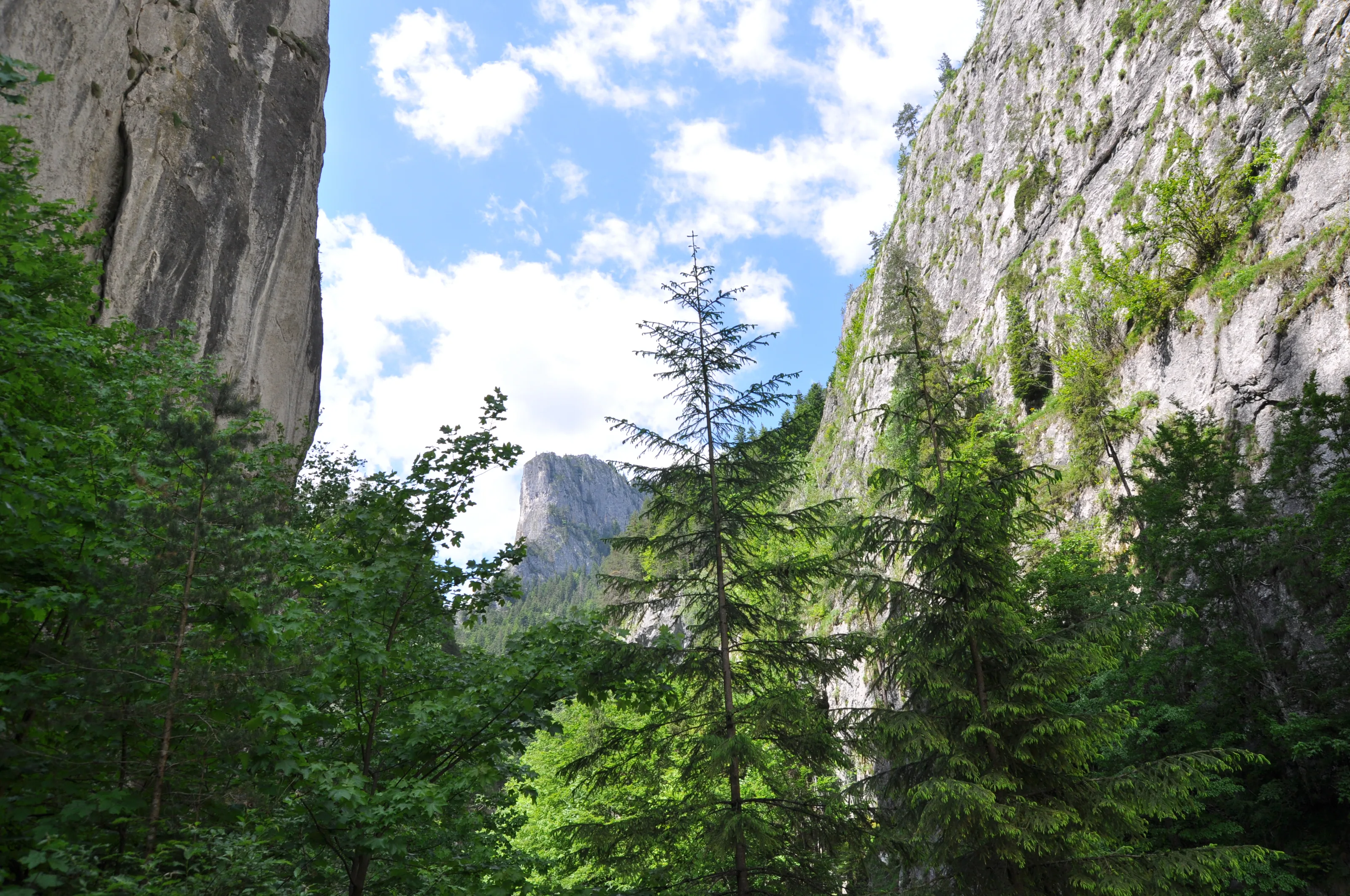
02Firs and limestone walls in the Bicaz Gorge
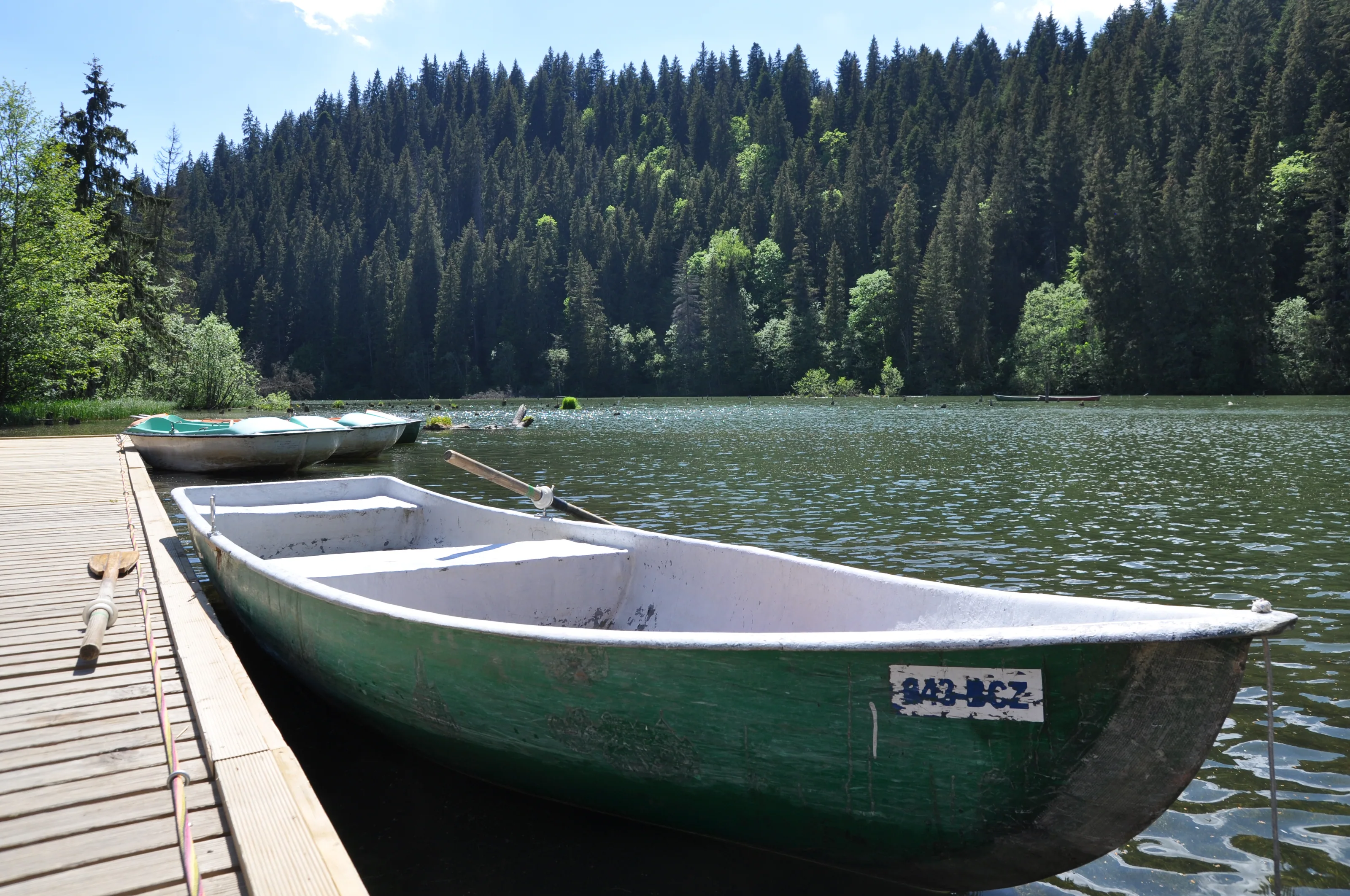
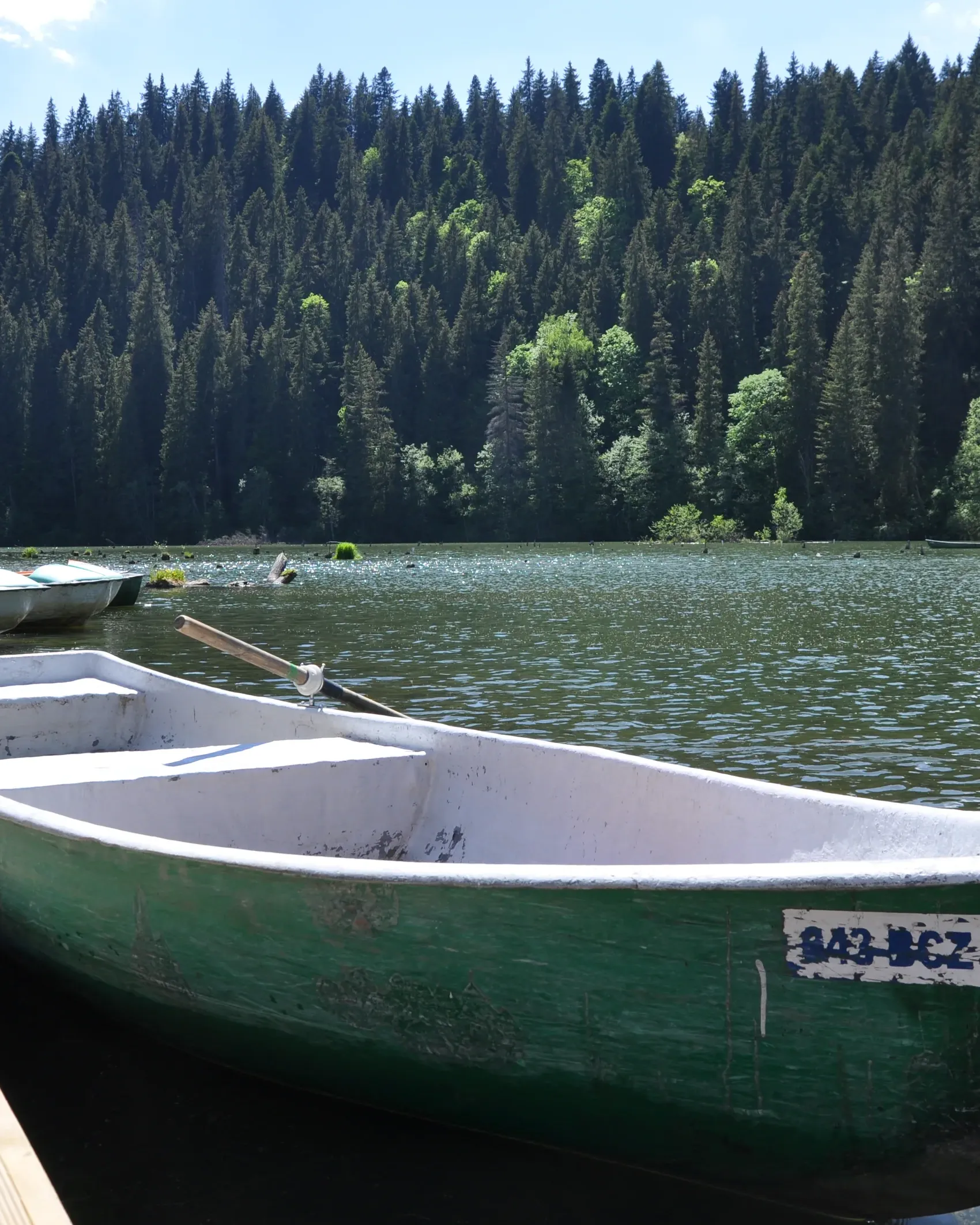
03A green boat at the Lacu Roșu landing
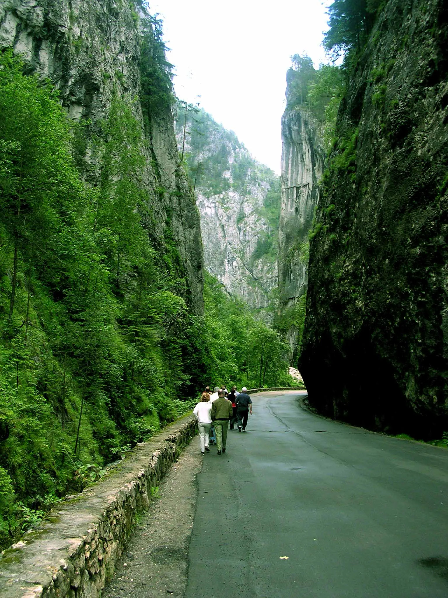
04The high walls of the Bicaz Gorge, the road and two walkers
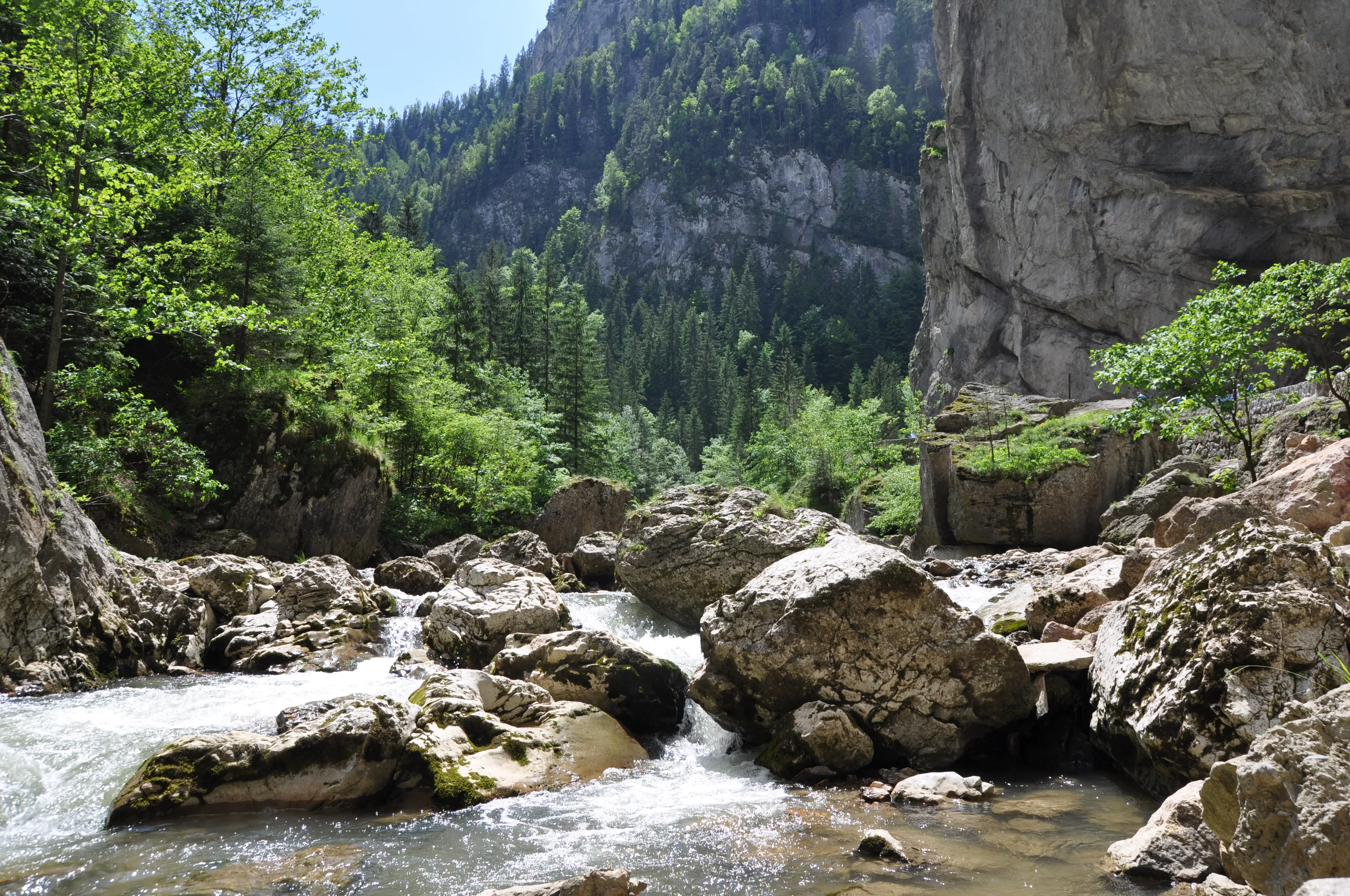
05The stream running over boulders between the gorge walls
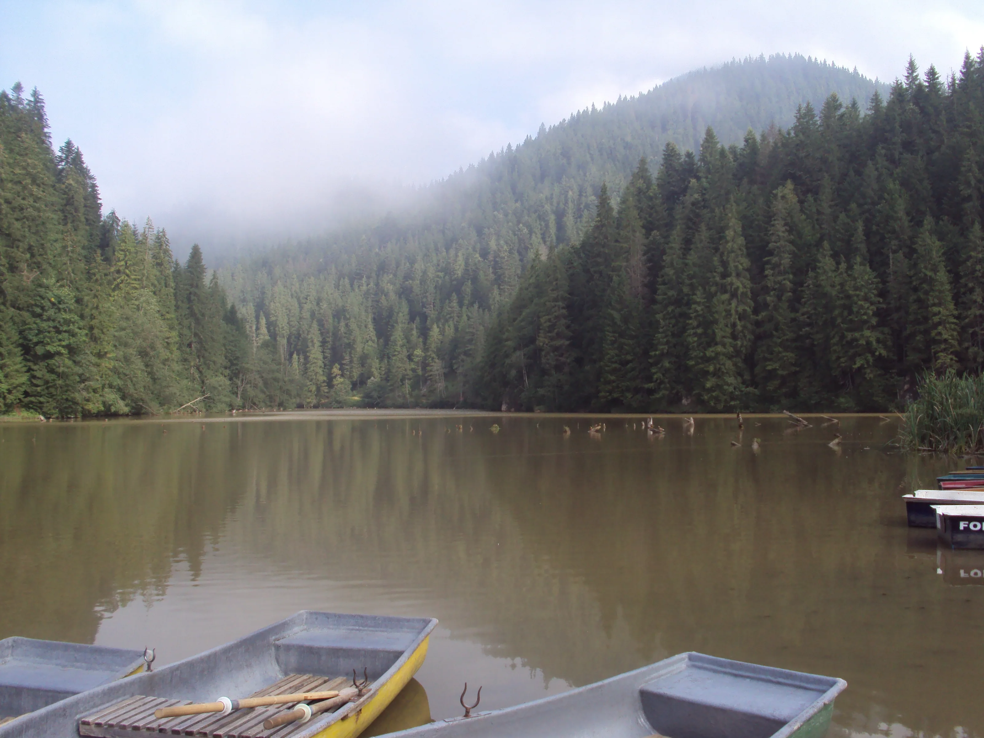
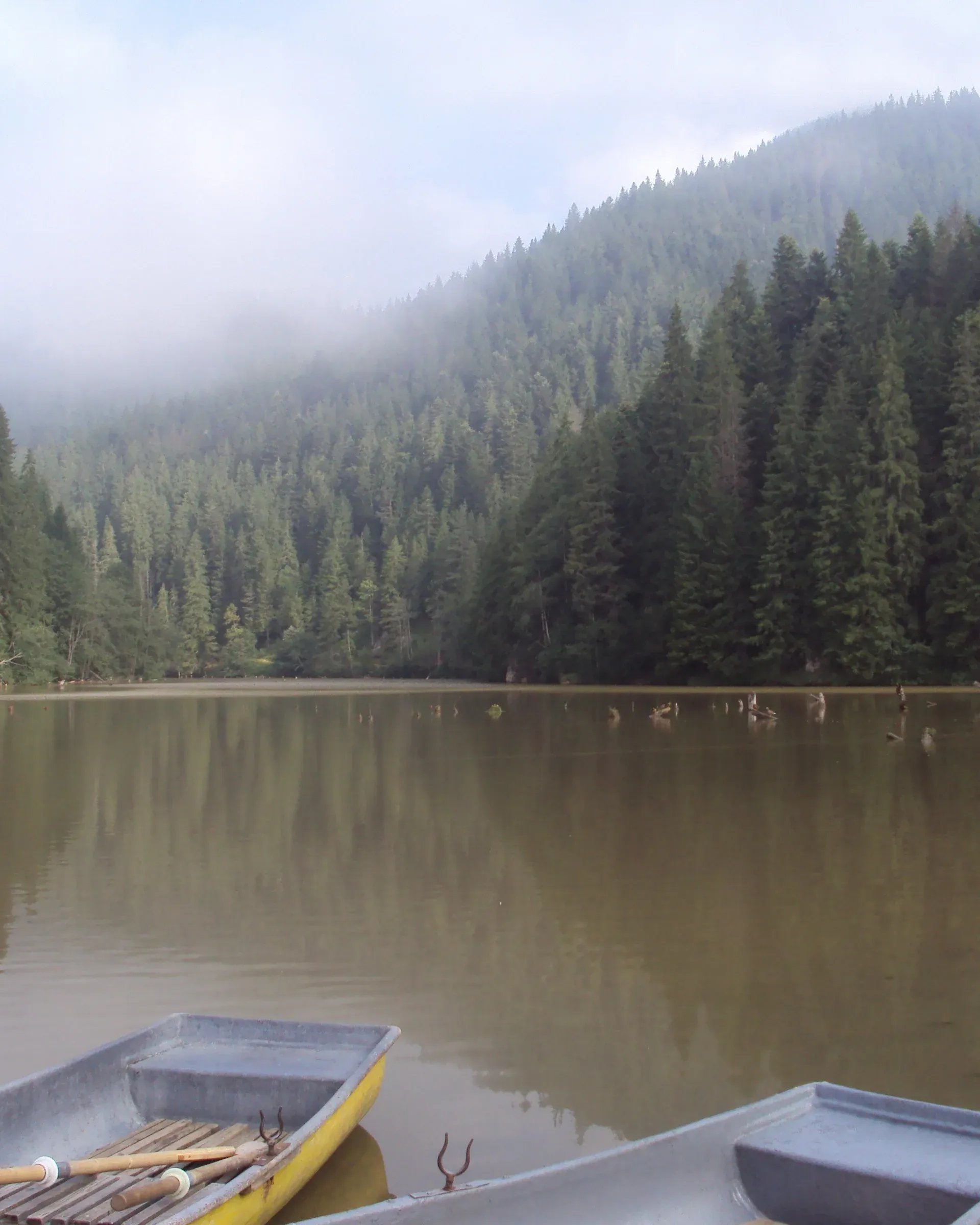
06Boats at the shore under mist on Lacu Roșu
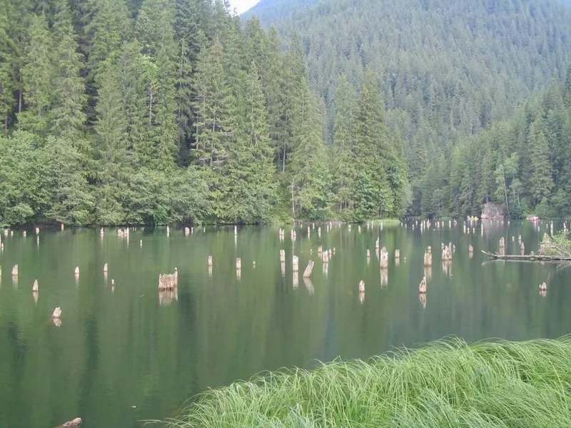
07The spruce trunks that rise out of the water of Lacu Roșu
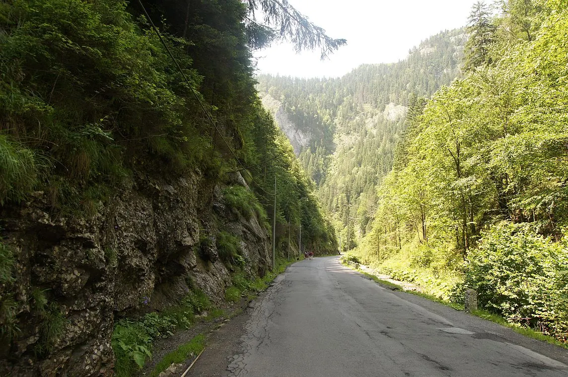
08The road through the Bicaz Gorge between wooded walls
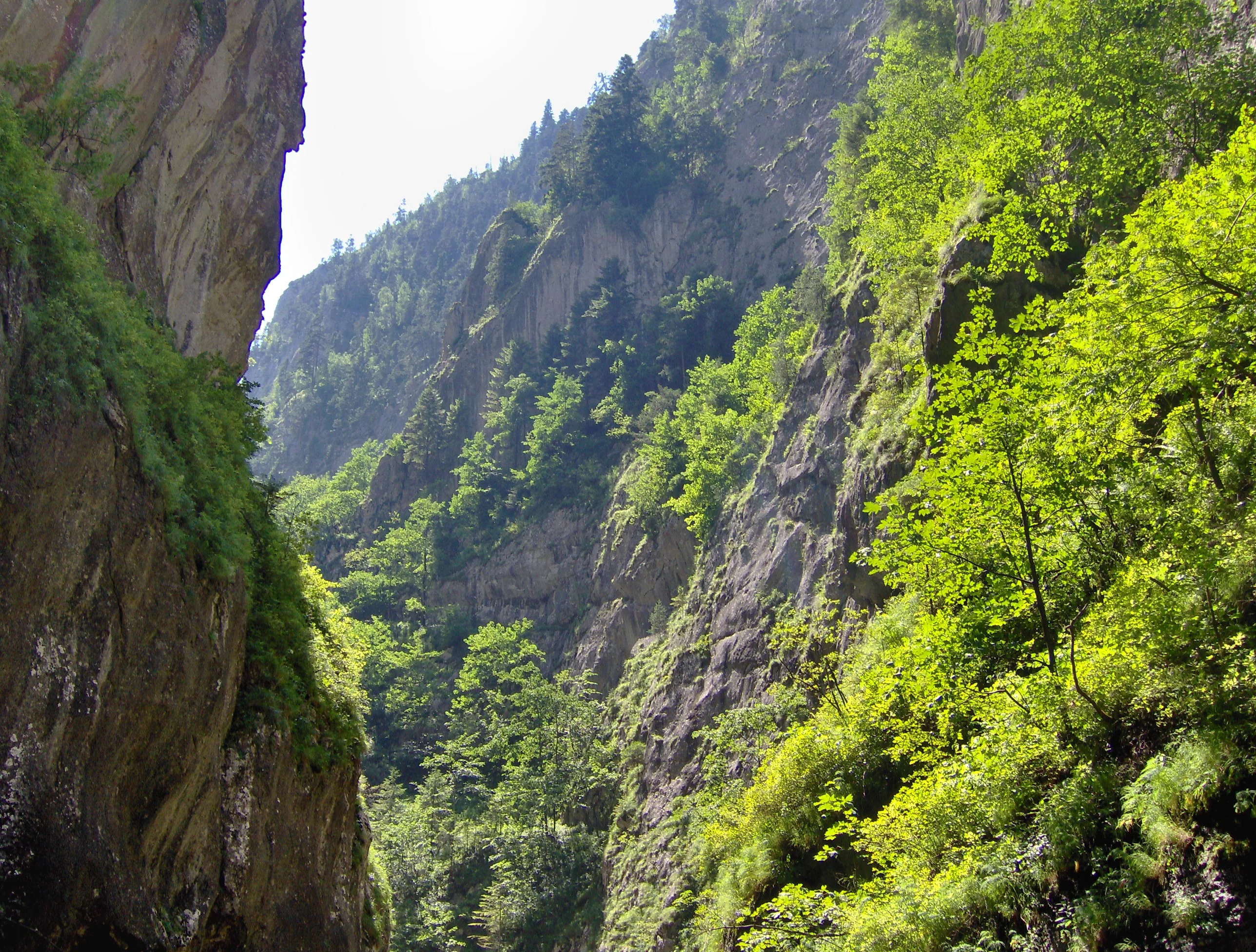
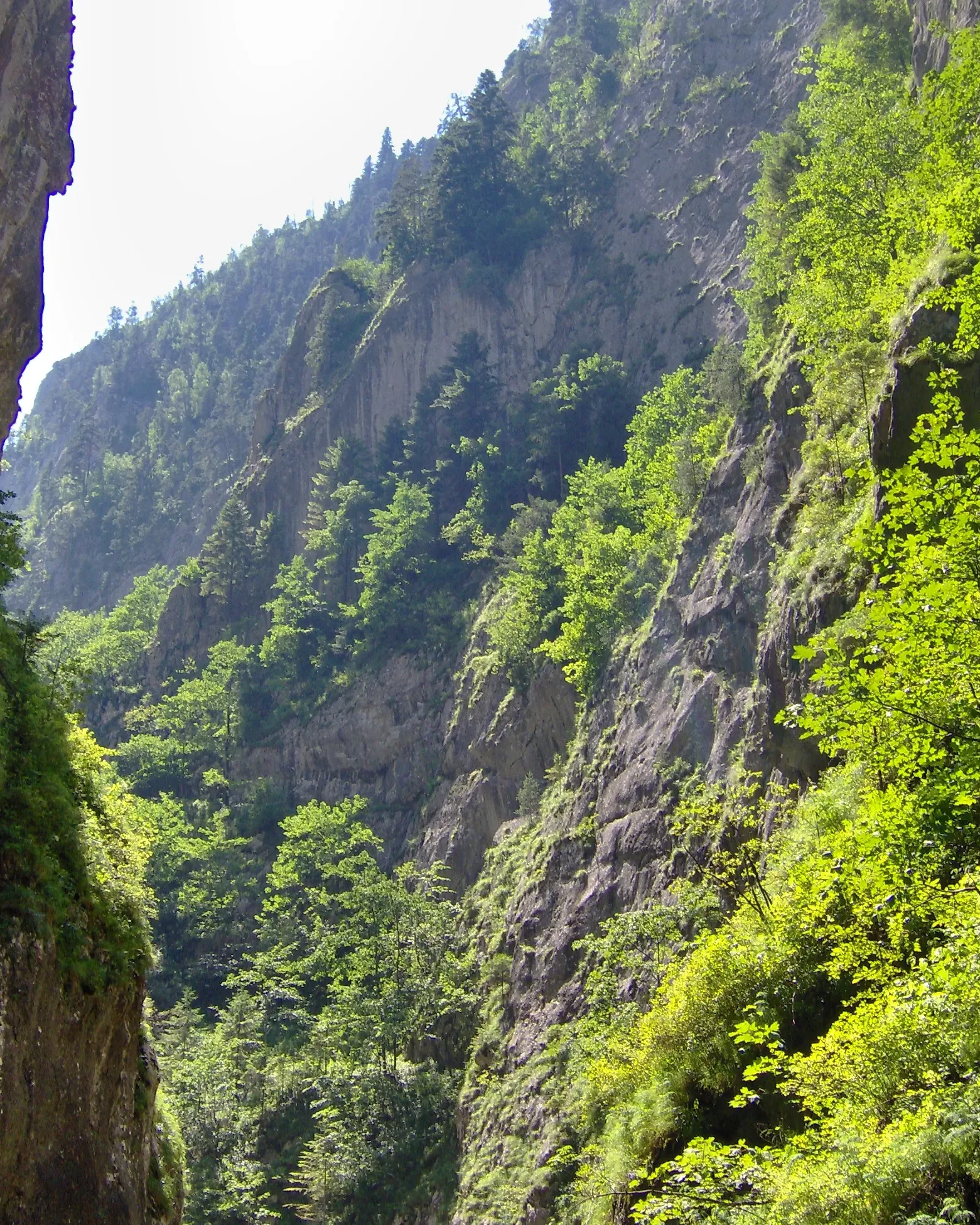
09A green-clad rock wall in the Bicaz Gorge
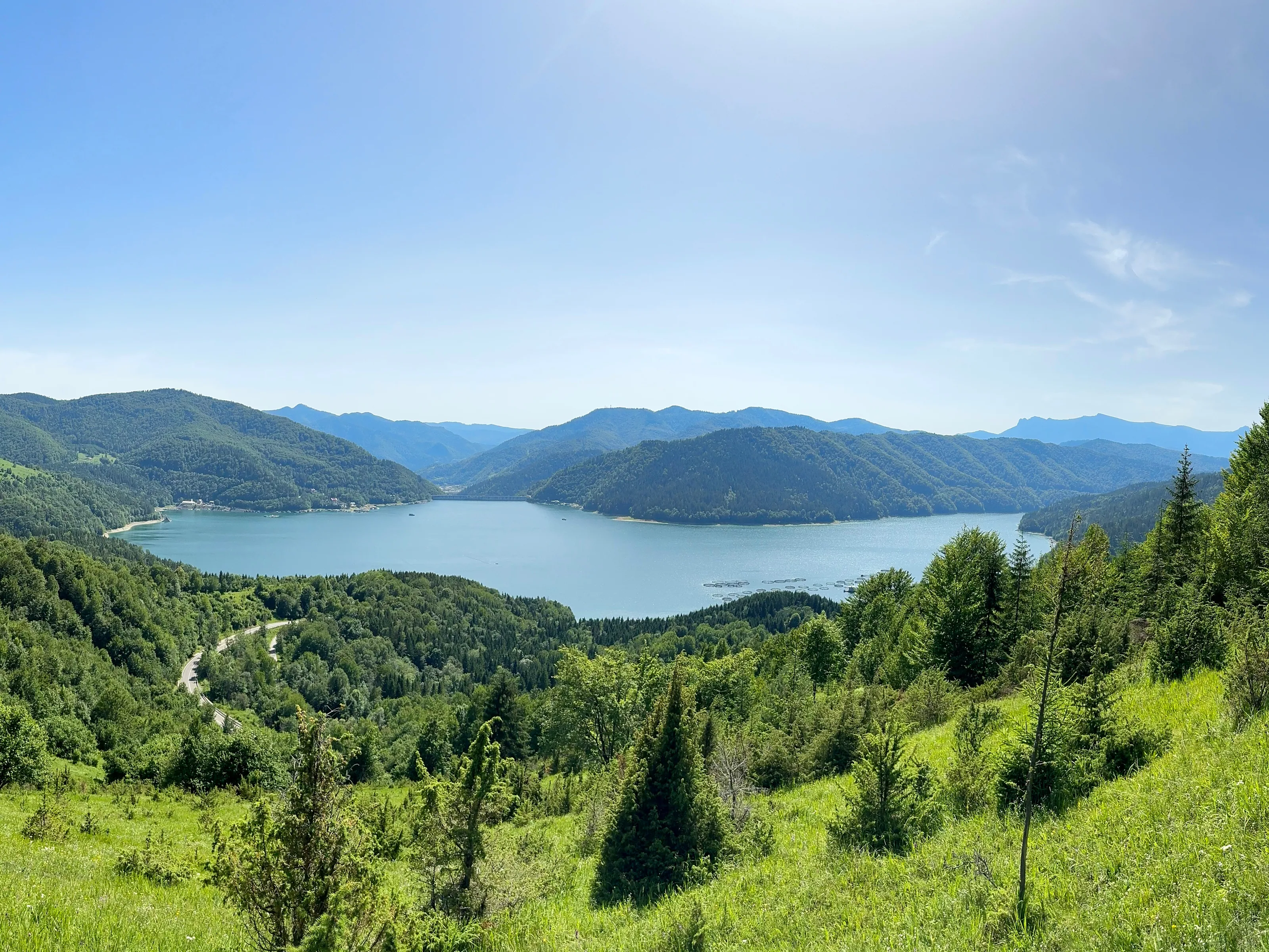
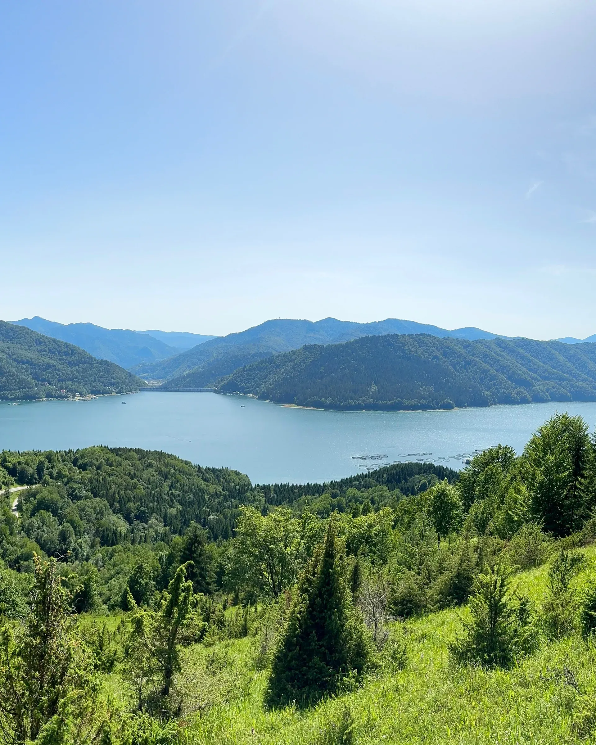
10Lake Izvorul Muntelui seen from a hill, mountains beyond
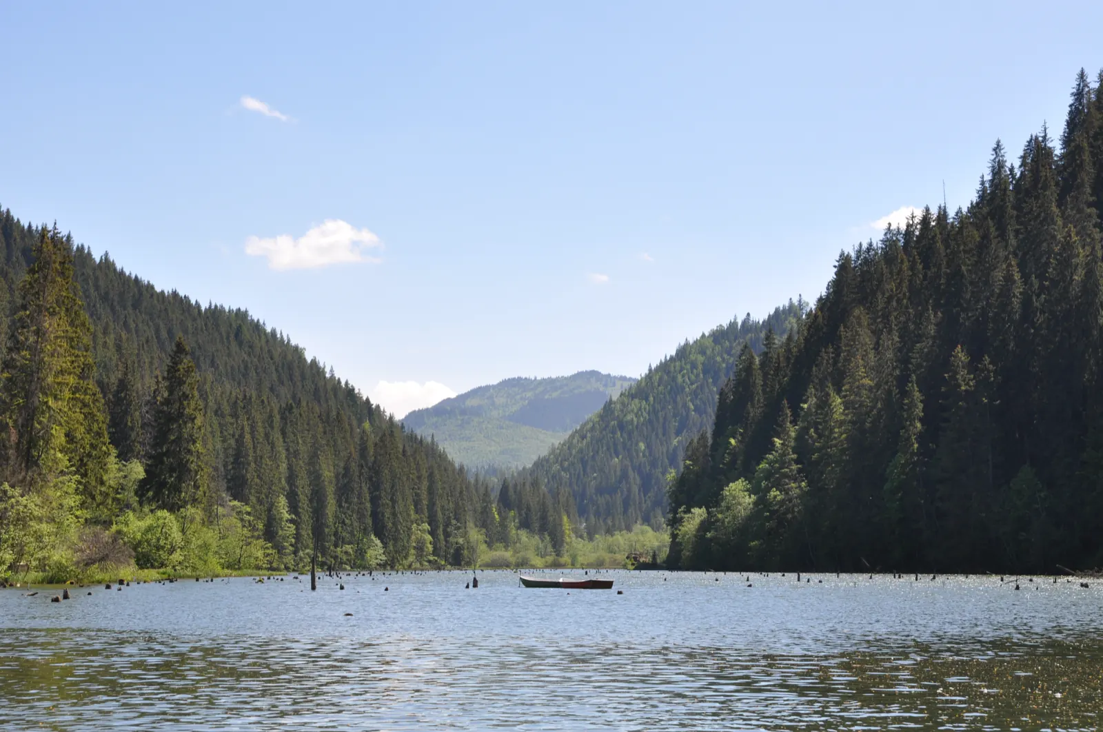
11Lacu Roșu looking towards the gap, with wooded slopes
Before you set off, ask Salvamont or the visitor centre about the state of the trails. Follow the forecast, wear gear that suits the season and tell someone which trail you chose. In bad weather or in winter, many trails become dangerous.
234 kmof marked trails
Direcția de Administrare a Parcului Național Cheile Bicazului-Hășmaș